


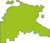


Australian Capital Territory
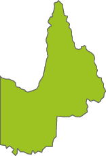
Canberra & Southern Tablelands
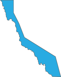
New South Wales
Canberra & Southern Tablelands


Canberra & Southern Tablelands
Canberra & Southern Tablelands
This record no longer exists or has been deleted.